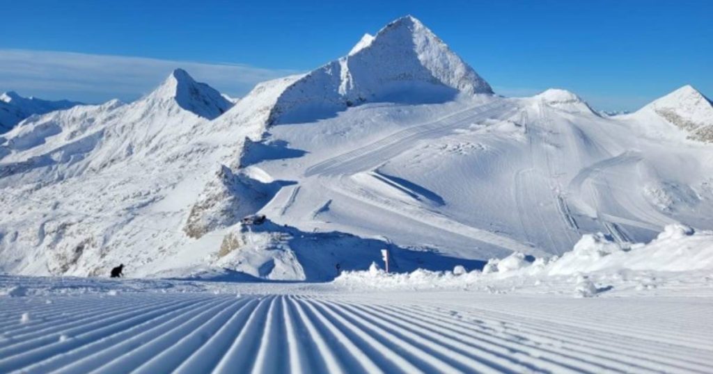
One low pressure area after another is flowing an active jet stream towards Western Europe. Associated precipitation fronts also move into the Alps and provide large amounts of precipitation there. So far, the snow line has often been above 2,000 metres, but snow may also fall at lower altitude in the coming days. November is a good start for winter sports areas, which welcome the snow with open arms and slowly begin preparing the slopes.
Storm Ciaran had an impact not only on western Europe, but also on southern Europe. The storm’s front, a warm and cold front, moved across the Alps from west to east yesterday. The result was turbulent weather in the mountains with stormy winds. In addition, a southerly stream of Mediterranean air (Südstau) formed at the front of the system with precipitation falling along the entire southern side.
Initially the snow line was still above 2000 metres, but after the passage of the cold front it dropped to 1600-1800 metres. Last night the wind calmed down and cool air came in. This caused the snow line to drop to 700-1000 metres. Some valleys are already covered with a layer of snow. Even today, snow is still falling in the eastern and western Alps, even if their altitude is higher than 1,000 metres.
Read more below the picture

The passage of different precipitation zones combined with the long-term accumulation of moist air results in a lot of snowfall. Until tonight, up to 50 cm may fall in most mountainous areas. In southeastern Switzerland, as well as in the Mont Blanc and Südtirol mountain ranges, it can reach a height of 70 cm and more. Locally, a ceiling of up to 1 meter of snow can be seen.
So the outlook is also excellent for ski areas that planned to open early. Slope conditions are improving by the day in the already open ski areas (Hintertux Glacier, Pitztal Glacier), although strong winds mean the lifts are closed. In areas that are not open, slope preparation can now actually begin.
Read more under social media message
The weekend and longer term also look constantly disturbed with regular (lots of) rain. A return to truly mild weather is not an immediate possibility. Especially above 2000 metres, King Winter continues to reign and the snow layer can thicken. The lead-up to the real winter sports season is off to a good start.
Kieran has not left the track yet and the next storm is already on its way: “There is a good chance that the French and Spanish meteorological services will warn with code orange.”
◀ “Two new storms are also approaching Europe at the end of the week” (+)
Storm Ciaran killed at least 5 people in Italy, and photos show how torrential rains flooded the streets
Free unlimited access to Showbytes? Which can!
Log in or create an account and never miss a thing from the stars.

“Lifelong food practitioner. Zombie geek. Explorer. Reader. Subtly charming gamer. Entrepreneur. Devoted analyst.”


More Stories
Revealing the ten countries that support Ukraine the most
Funny protest against mass tourism in Galician village
Kamala Harris has wind in her sails, but Trump can still win