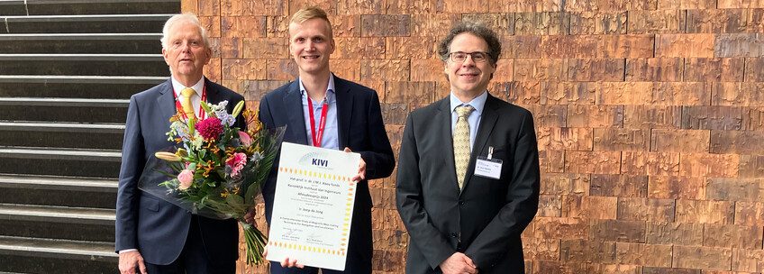
The direction and strength of the Earth's magnetic field depends on the location where it is measured. Joep de Jong from TU Delft won the Professor Cui Prize for how this magnetic field property can be used for navigation purposes.
In a time before everyone had to use their smartphone to show them the way, people who ventured off the beaten path used a topographical map and compass. The compass worked to orient the map correctly. One had to know where it was located based on the location of the mountains, valleys, lakes and forests. After all, the geomagnetic field, generated by the Earth's liquid and iron core, only tells us where north is.
However, the magnetic field lines along which the compass needle points also have local deflections. The Earth's crust – which also contains iron-rich rocks – varies greatly in its composition. The strength and direction of these anomalies depends on where a person is located on the Earth's crust.
Coy Award
As an applied mathematics student at TU Delft, Joep de Jong, in collaboration with TNO, developed a way to use these anomalies in the Earth's magnetic field to create magnetic maps and navigation systems. These can provide an alternative to navigation systems that rely on GNSS (Global Navigation Satellite Systems) such as GPS or Galileo.
to His master's thesis De Jong won the Professor Cui Award from the KIVI Engineering Society for this. This is an award for the best graduate of 2023 in the field of defense and security related technology. The award, consisting of a certificate and two thousand euros, was presented It was awarded on April 3 In the annual Prof. Koi Symposium.

microtesla
The strength of the Earth's magnetic field ranges between 25 and 65 microtesla, and the strength of the anomalies is 0.01 microtesla or less. However, this was not the biggest challenge of his research, de Jong says. “My goal was to determine where the rocks are causing the measured deflections in the Earth's crust. If you know that, you can calculate what the deflection is in places you haven't measured, as well as how it changes with height above the Earth's surface. This enables the creation of a 3D map that a pilot can navigate In which.
The problem is that a certain deviation in the magnetic field cannot be translated into an abnormal rock in the subsurface. “So there are many possible solutions, in different depths and shapes.” In order to make a good estimate of subsurface magnetic objects, many measurements and clever mathematics are needed.
De Jong believes this method is powerful, except in densely populated urban areas. “Then you have to deal with turbulence caused by moving objects that can contain iron, such as cars and trucks.” The Earth's magnetic field itself also varies, which must be corrected from time to time. De Jong: “But then we're talking about the volume of nanotesla per year.”
Without satellites
“Through his research, de Jong has laid an impressive foundation for the development of a complete solution for magnetic navigation,” the Coie Prize judges wrote in their jury report.
So more research is needed to actually navigate the magnetic field.
If successful, it would be a way to reduce reliance on GNSS satellite navigation, and thus the opportunity for “spoofing”.
Opening image: Upload photos
If you found this article interesting, subscribe to our free weekly newsletter.

“Coffee buff. Twitter fanatic. Tv practitioner. Social media advocate. Pop culture ninja.”


More Stories
Which can cause an increase in nitrogen.
The Central State Real Estate Agency has no additional space to accommodate Ukrainians.
The oystercatcher, the “unlucky national bird,” is increasingly breeding on rooftops.