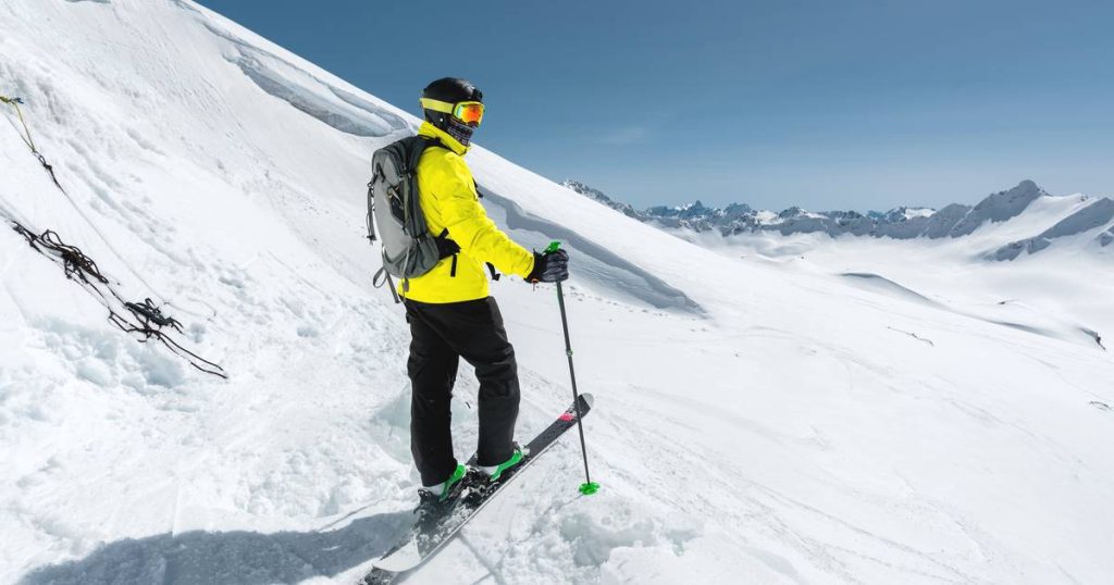
December hasn’t started yet, but winter weather is in full swing in the Alps. This is good news for winter sports enthusiasts. There is already a significant layer of snow in many places, even more than in recent years at the beginning of the winter weather. As a result, many ski areas have already opened their lifts. Tomorrow, temporary rain will fall in the Western Alps up to 2,000 meters high, but above the snow layer will thicken. There is less snow in the Southern Alps at the moment, but real snow is due to be buried there later this week.
The last few weeks have been relatively cold in the Alps with regular snowfall. This allowed a heavy layer of snow to accumulate, especially on the northern side of the mountain range. There are actually more of them than at the beginning of winter in recent years. Due to these excellent conditions, many ski areas have already opened their lifts in recent days and weeks, and quick openings are planned in others.
Fresh snow is not only good news for winter sports areas, but also for glaciers. After another very negative year for Alpine glaciers, the hydrological year (which begins on October 1) is off to a good start this time. Many glaciers currently have more snow than average at the end of November.
More snow in the coming days with snow dump
After a dry and sunny Wednesday, a new front with rain will approach the Alps on Thursday. Because the winds shift to the southwest, the weather becomes milder, especially in Switzerland and France. Thus, the Alps will have to contend with air mass limits, with the northeast experiencing cooler air and the southwest experiencing milder air. Unfortunately, this results in rain falling up to 2000 meters in the French and western Swiss Alps.
Read more below the picture

The weather will remain cooler in Austria and Italy, but rainfall will be less intense here on Thursday. In the evening and night through Friday, the snow line will drop again from the northwest. Winter sports villages that initially saw rain will be covered in a layer of snow again by Friday morning.
On Friday, during the day, the rain and snow area will move towards the east. Meanwhile, most weather models predict the formation of a low pressure area over Italy. This can increase temperature differences even further. Combined with moisture from the Mediterranean, this is the perfect recipe for heavy rainfall, especially in the southeastern Alps such as the Dolomites and Carinthia. In this part of the Alps, where little snow has fallen so far, between 50cm and 1m could fall locally on Friday and Saturday. Large amounts of snow are also possible in Slovenia.
Read more below the picture

Nearby, there is already a lot of snow in the Ardennes, Sauerland, and Vosges. There is 10 to 15 cm at the High Fens and the toboggan run at Baraque Fraiture is open. In Ovivat, snow cannons were activated to open the ski slope there.
weather forecast. Please note that roads may also be slippery this evening and tonight
Was this fall really cold, gray and wet? This is what the numbers say: “Fall 2023 was above everyone else in one region.”
Northeastern Europe braces for extreme cold: Can we also expect snow and sleet this week?
Free unlimited access to Showbytes? Which can!
Log in or create an account and never miss a thing from the stars.

“Lifelong food practitioner. Zombie geek. Explorer. Reader. Subtly charming gamer. Entrepreneur. Devoted analyst.”


More Stories
Revealing the ten countries that support Ukraine the most
Funny protest against mass tourism in Galician village
Kamala Harris has wind in her sails, but Trump can still win